Paso Dorotea Border Crossing: Puerto Natales to Argentina Route Guide
Complete guide to crossing the Chile-Argentina border at Paso Dorotea from Puerto Natales. GPS coordinates, operating hours, step-by-step procedures, road conditions, fuel stops, and when to choose Dorotea over Cancha Carrera crossing.

Paso Dorotea (officially Complejo Fronterizo Dorotea-Laurita) is one of two main border crossings connecting Puerto Natales, Chile to Argentina. While less known than the busier Cancha Carrera crossing, Dorotea handles approximately 39% of regional border entries and serves as a strategic route for travelers heading to Río Turbio, Río Gallegos, or exploring Argentina's legendary Ruta 40.
Located just 15 kilometers northeast of Puerto Natales, this crossing offers a quieter alternative during peak tourist season, with shorter wait times and a more remote, authentic Patagonian border experience. The crossing connects Chile's Y-290 route to Argentina's Provincial Route 7, ultimately linking to Ruta 40 - the spine of Argentine Patagonia.
When to Choose Dorotea
Choose Paso Dorotea over Cancha Carrera if you are:
- Traveling to Río Turbio, Río Gallegos, or northbound on Ruta 40
- Seeking less traffic and shorter wait times (especially January-February)
- Exploring the scenic estancia landscapes of southern Patagonia
- Heading to Ushuaia via Argentina's Route 3
For general border crossing procedures, required documentation, food restrictions, and insurance requirements, see our complete Chile-Argentina border crossing guide.
GPS Coordinates & Official Details
- Coordinates: -51.5833°S, -72.4167°W
- Official Name: Complejo Fronterizo Dorotea-Laurita
- Chile Side: Dorotea checkpoint
- Argentina Side: Laurita checkpoint
- Elevation: Approximately 100 meters (mostly flat terrain)
- Distance from Puerto Natales: 15 km northeast
How to Reach Paso Dorotea
From Puerto Natales:
- Head north on Ruta 9 (paved main highway)
- After approximately 10 km, turn right (east) onto Y-290
- Continue 5 km on gravel road to Chile border checkpoint
- GPS navigation recommended - limited signage after turning onto Y-290
Road Surface:
- First 10 km (Ruta 9): Fully paved, excellent condition
- Last 5 km (Y-290): Well-maintained gravel, suitable for 2WD in summer
- 4WD recommended during winter months (June-August) due to potential snow/ice
The approach offers expansive views of Patagonian steppe, grazing sheep estancias, and distant mountain ranges. Wildlife sightings (guanacos, foxes, condors) are common, especially during early morning hours.
Frequently Asked Questions
What are the operating hours for Paso Dorotea?
Paso Dorotea operates 8:00 AM - 10:00 PM daily in summer (December-February), 8:00 AM - 6:00 PM in winter (May-August), and 8:00 AM - 8:00 PM during shoulder seasons. Unlike some remote crossings, it operates year-round but hours can change seasonally.
When should I choose Dorotea instead of Cancha Carrera?
Choose Paso Dorotea if you're heading to Río Turbio, Río Gallegos, or traveling north on Ruta 40. It handles 39% of regional entries and typically has less traffic than Cancha Carrera, especially during summer peak season. Choose Cancha Carrera if you're going directly to El Calafate or want border amenities like duty-free shops.
Where is the nearest fuel station after crossing at Dorotea?
The nearest fuel station is in Río Turbio, Argentina, approximately 35 km from the border crossing. On the Chile side, fuel up in Puerto Natales (15 km from the border) before crossing. There are no fuel services at the border itself.
How long does it take to cross at Paso Dorotea?
Average processing time is 20-60 minutes for the complete crossing, which is typically faster than Cancha Carrera. This includes both Chile exit and Argentina entry procedures. Times increase during peak summer months (January) and holiday weekends.
Image Generation Prompt
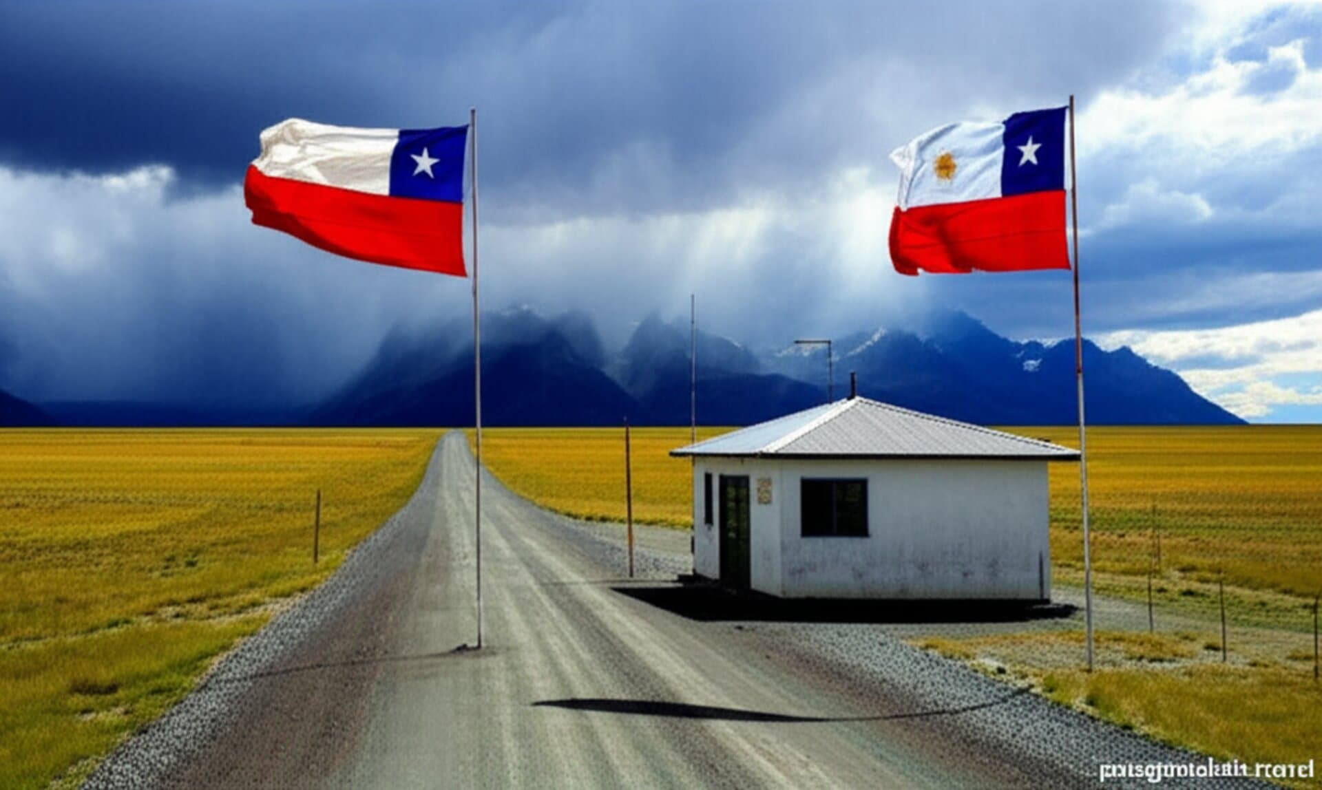
Create a professional landscape photograph of a remote Patagonian border crossing checkpoint (Paso Dorotea) featuring a small border post building with Chilean and Argentine flags against a backdrop of open grassland steppes and distant mountains. The scene shows a gravel road leading to the checkpoint with dramatic Patagonian sky. Style: Documentary travel photography with natural lighting, 16:9 aspect ratio, no people in focus. Include subtle 'patagoniahub.travel' branding.
Related Guides
Chile-Argentina Border Crossing by Car: Complete Guide for Self-Drivers
Everything you need to know about crossing the Chile-Argentina border by car in Patagonia. From permits and documentation to wait times, food restrictions, and step-by-step procedures - your complete 2026 guide.
Cancha Carrera Border Crossing: Complete Step-by-Step Guide 2026
Detailed walkthrough of the Cancha Carrera / Río Turbio border crossing between Puerto Natales and El Calafate. Step-by-step procedures, documents, timings, and tips to cross smoothly.
Emergency Fuel in Patagonia: Last Resort Options When You're Running Low
What to do when you're running on empty in remote Patagonia. Emergency fuel sources, hotel fuel sales, hitchhiker help, and how to avoid disaster.
Driving Patagonia? Ask us the awkward questions.
Border permits, one-way drop-offs, fuel gaps between towns — tell us your route and dates for El Calafate and we will come back with what actually works.
The advice is free. Booking a car or a tour through us afterwards is entirely optional.
Message written for you — edit or send as is.